File:LPL Region Map.png
Jump to navigation
Jump to search
No higher resolution available.
LPL_Region_Map.png (300 × 269 pixels, file size: 35 KB, MIME type: image/png)
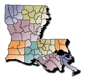
A color coded map with parish boundaries of Louisiana. The colors indicate metro regions for SCC representation.
File history
Click on a date/time to view the file as it appeared at that time.
| Date/Time | Thumbnail | Dimensions | User | Comment | |
|---|---|---|---|---|---|
| current | 00:22, 21 January 2010 | | 300 × 269 (35 KB) | Adrienmonteleone (talk | contribs) | A color coded map with parish boundaries of Louisiana. The colors indicate metro regions for SCC representation. |
You cannot overwrite this file.
File usage
The following page uses this file: